Welcome to Aerial Drone Operators - Drone Crop Surveys
Our aerial drone services provide aerial photography, drone surveys, drone inspections, drone thermal imaging, drone security and drone surveillance
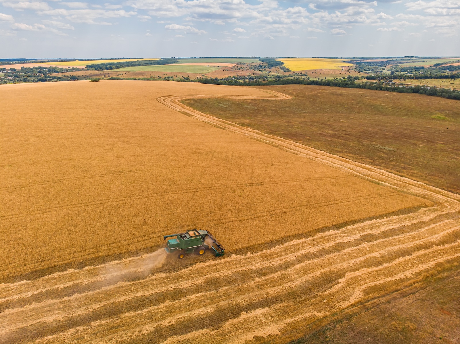
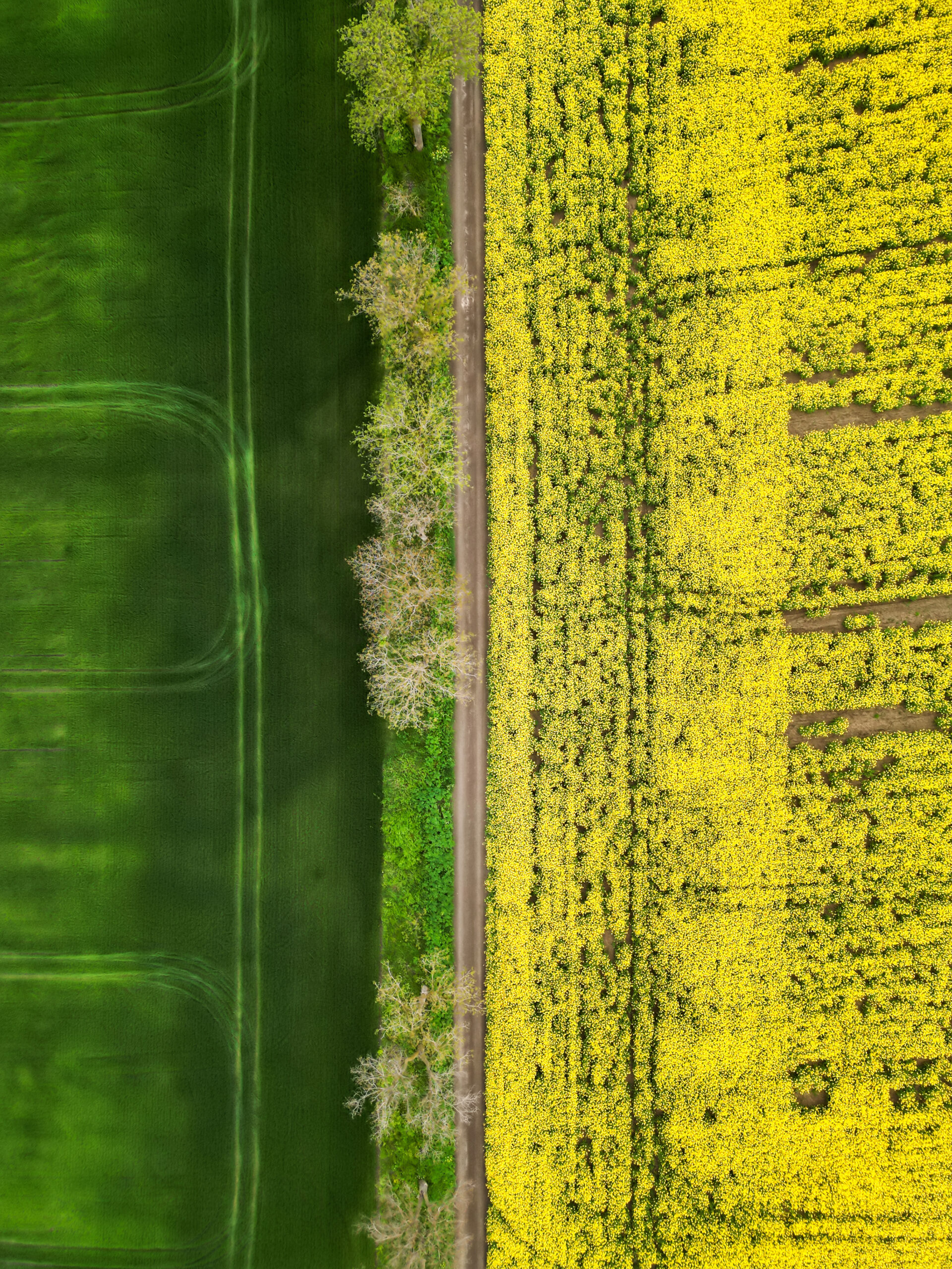
Welcome to our webpage dedicated to Aerial Drone Crop Surveys. Embrace the future of precision agriculture as we explore the transformative benefits of our drone survey services for farmers across the UK. Discover how our Aerial Drone Crop Surveys can revolutionise the way you manage your crops.
We are able to work at a local level in the South West of England including Cornwall, Devon, Somerset and further afield in the rest of the UK from our base in Devon.
We are able to carry out flights on any size of field and farm.
We conduct fully-automated, pre-programmed and targeted drone flights to obtain field overviews and close-up imagery for analysis.
You will then receive field reports on crop health, problems and progress within 24 hours - viewable from anywhere - for real-time, for data-driven decision-making.
Use us for
- Actionable crop-specific analysis, from seed to harvest.
- High-resolution drone imagery to count crops.
- Check for unhealthy leaves and pest damage.
Transform the way you approach crop management with Aerial Drone Crop Surveys in the UK. Our service combines cutting-edge technology, skilled professionals, and a commitment to excellence. Elevate your harvest, optimise your resources, and reap the rewards of precision agriculture.

