Welcome to Aerial Drone Operators - Drone Heat Loss Mapping and Drone Thermal Camera Inspections
Using thermal imaging technology our drone pilots create detailed heat maps, for inspections of infrastructure, buildings, and industrial facilities
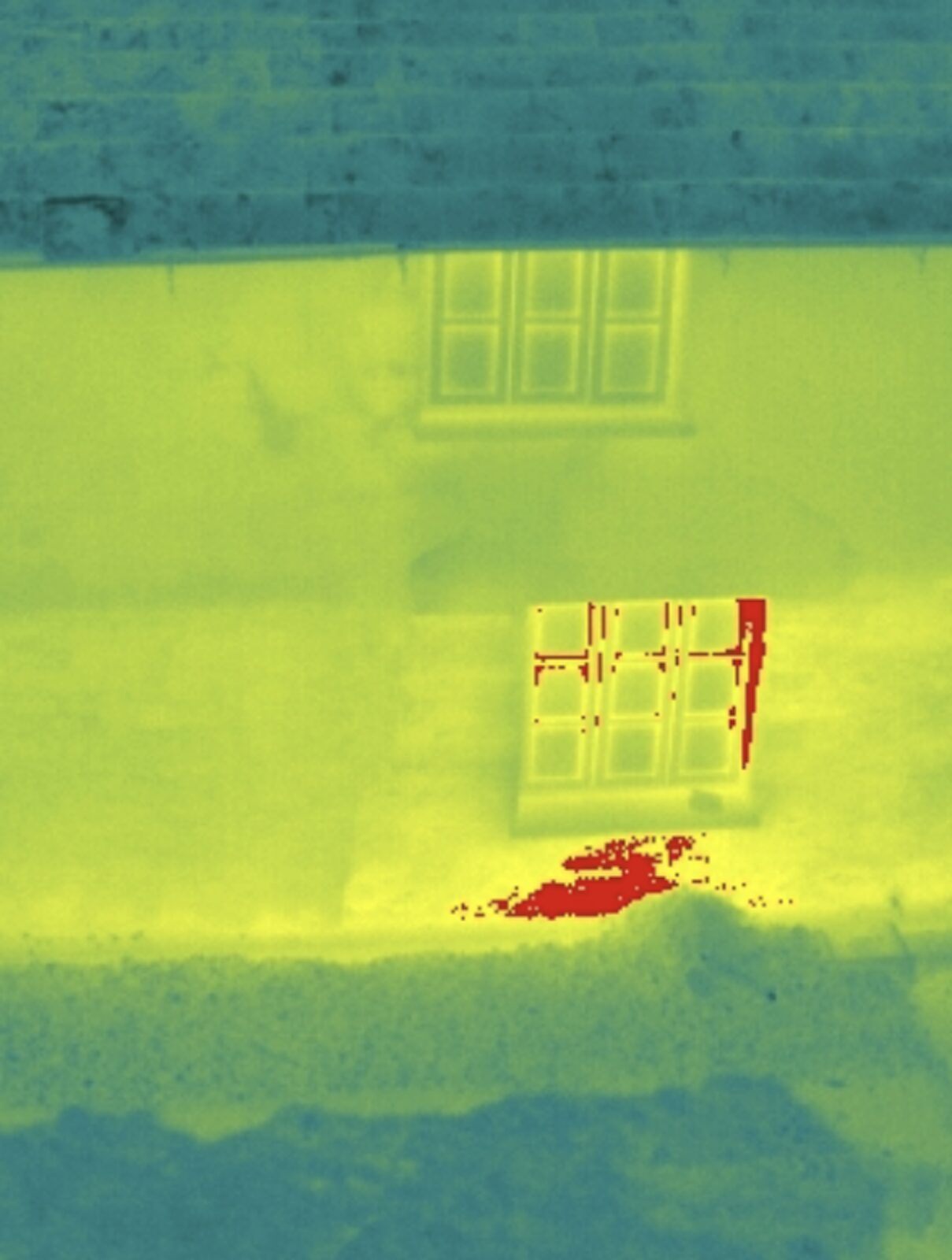
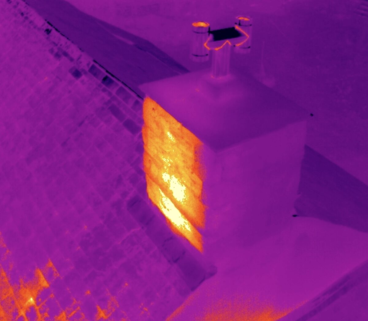
At Aerial Drone UK, our drone heat loss mapping service and drone thermal camera inspections are designed to provide cutting-edge solutions for businesses and homeowners looking to optimise energy efficiency, improve EPC ratings, make energy bill savings and enhance the life of the asset. We deliver accurate and comprehensive assessments to visualise temperature variations and identify areas of heat loss and water ingress that can lead to substantial energy savings and improved asset longevity.
We are able to work at a local level in the South West of England including Cornwall, Devon, Dorset, Somerset and further afield in the rest of the UK from our base in Devon.
Why Choose Aerial Drone UK?
-
Advanced Thermal Imaging Technology
Our drones are equipped with state-of-the-art thermal imaging cameras capable of capturing detailed heat patterns. This advanced technology allows us to identify areas of heat loss and water ingress with precision, providing you with valuable insights into the performance of your property.
-
Efficient and Cost-Effective
Traditional methods of heat loss and water ingress detection can be time-consuming and costly. Aerial Drone UK's service offers a quick and cost-effective alternative. Our drones can cover large areas in a short amount of time, ensuring that you receive timely and accurate data without the need for extensive manual inspections.
-
Comprehensive Reports
Our team of skilled professional drone pilots and team uses the thermal data collected by our drones to generate comprehensive reports. These reports outline specific areas of concern, allowing you to take targeted action to improve efficiency. The detailed information provided empowers you to make informed decisions about energy upgrades and overall renovations.
-
Customised Solutions
Every property is unique, and our drone inspection services are tailored to meet your specific needs. Whether you're a homeowner, a business owner, or a property manager, our team works closely with you to understand your goals and deliver solutions that align with your objectives.
How Aerial Drone Services Work
1. Consultation: We begin with a consultation to understand your objectives and the specific areas you want to assess for heat loss and water ingress.
2. Drone Survey: Our experienced drone pilots conduct a thorough survey of your property using thermal imaging technology to identify areas of heat loss and water ingress.
3. Data Analysis: Our team and drone pilots analyse the thermal data collected, generating detailed reports that highlight heat loss patterns and water ingress and potential areas for improvement, saving you time and money.
"I had a heat loss report undertaken for our home in Cornwall. We were aware that we were loosing heat in our home but this drone report identified a number of areas we could improve. After carrying out the changes we have managed to keep our energy bills down and keep our home warmer."
Adam, Cornwall

