Welcome to Aerial Drone Operators - Drone Land Surveying
Our Aerial Drone land survey services provide survey grade precision and accuracy capturing data safety and efficiently
At Aerial Drone UK our drone land survey services have highly skilled drone pilots that use the latest drone technology to gather data with geospatial precision, in a cost effective, safe and timely manner. We build maps and models for you to make informed decisions about your project.
Aerial Drone UK are able to work on your drone land survey project at a local level in the South West of England including Cornwall, Devon, Dorset, Somerset and further afield in the rest of the UK from our base in Devon.
Benefits of Aerial Drone UK Land Surveying:
-
Precision and Accuracy
Our aerial drones capture high-resolution imagery and LiDAR data, providing precise 3D models, topographical information, terrain modelling, elevation data, all with survey grade results. This allows for detailed analysis, ideal for various industries, including construction, agriculture, and environmental monitoring.
-
Time and Cost Efficiency
Aerial Drones UK's land surveys reduce project timelines and costs by swiftly covering large areas and generating detailed precise 3D models without the need for extensive manpower enabling you to make efficient decisions.
-
Enhanced Safety
Aerial Drone UK's land surveying minimises the need for personnel to be physically present in challenging terrains or hazardous sites. This enhances safety and mitigates risks associated with manual surveying.
-
Environmental Sustainability
Drones produce minimal environmental disturbance compared to traditional surveying methods. They operate efficiently and quietly, with minimal impact on the surrounding environment.
Applications of Aerial Drone Land Surveying:
1. Construction and Infrastructure Development
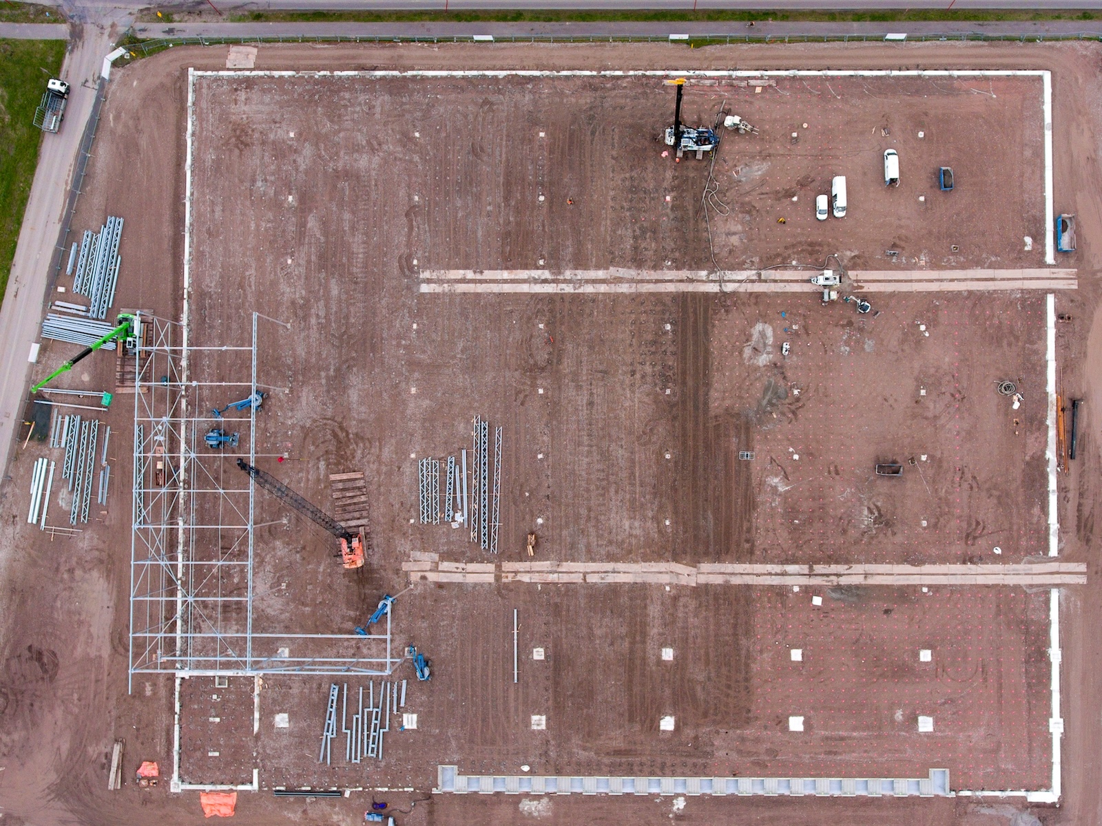
Drones provide near real-time data for construction site planning, progress monitoring, and quality control. Accurate topographic maps and 3D models aid in the design and execution phases.
2. Land Management
Precise 3D models, digital surface models (DSM), digital elevation models (DEM) and digital terrain models (DTM) are used to ensure efficient utilisation of land, for example forestry, water management, soil erosion, ecology and bio-diversity.
3. Environmental Monitoring
Drones assist in monitoring and assessing environmental changes, such as deforestation, erosion, and wildlife habitats. This information is crucial for sustainable land management and conservation efforts.
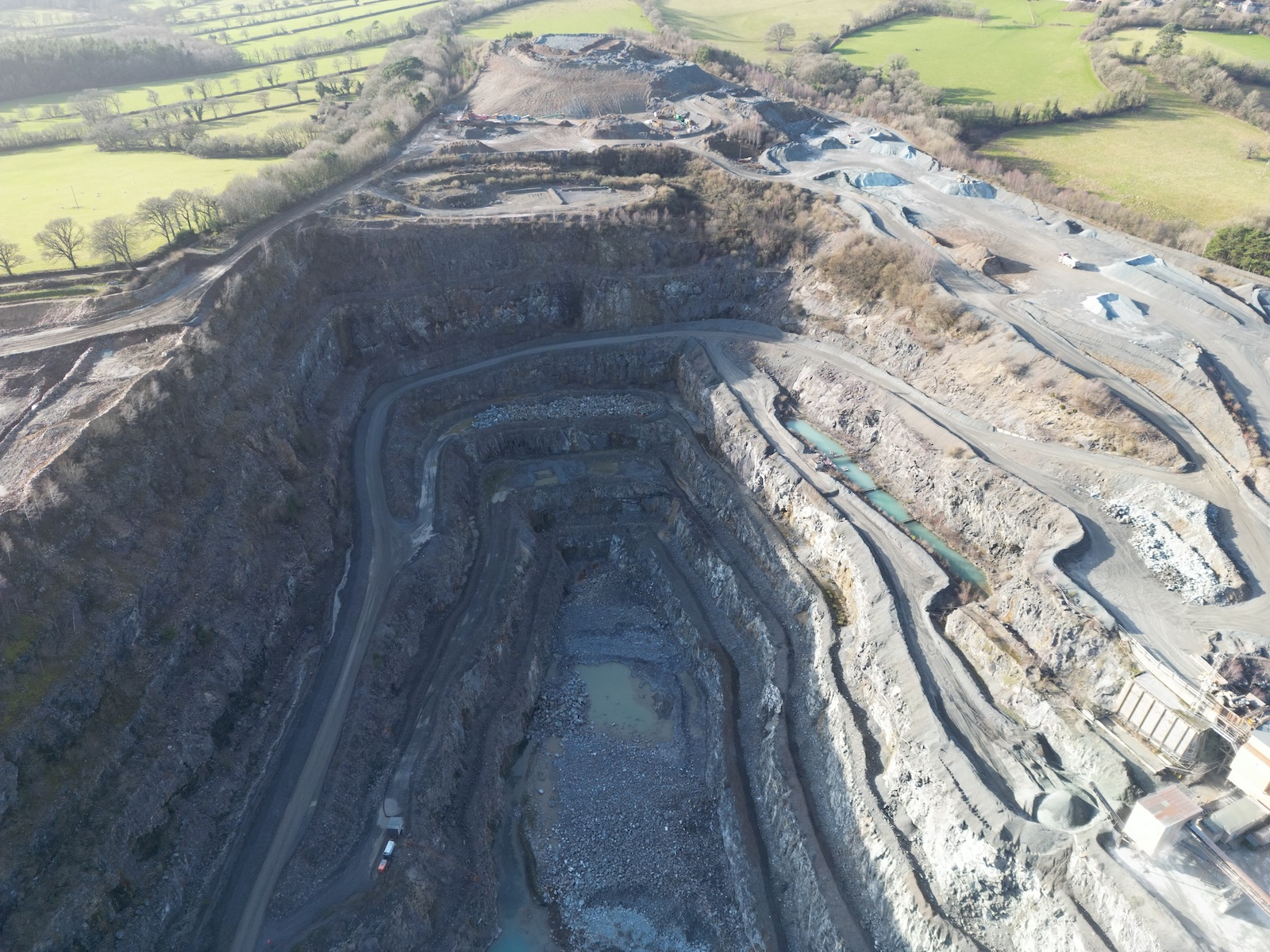
4. Mining and Quarrying
Drones provide site monitoring, topographic mapping and 3D modelling plus stockpile volumetric analysis. Ideal for resource planning and inventory management.

