Welcome to Aerial Drone Operators - Construction Drone Survey
Our Aerial Drone construction survey services provide highly accurate, cost effective surveys and help improve safety for construction projects
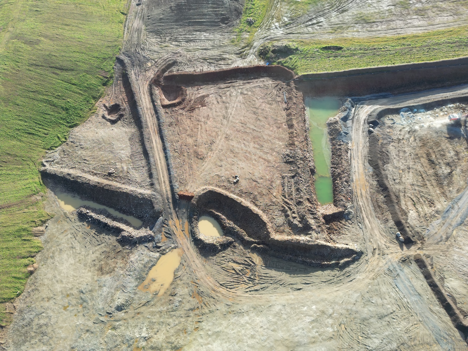
At Aerial Drone UK our drone construction survey services use the latest drone technology and our highly skilled pilots to collect high resolution imagery with survey grade accuracy, in a cost effective, safe and timely manner. We build maps and models for you to make informed decisions for your construction project.
Aerial Drone UK are able to work on your drone construction survey project at a local level in the South West of England including Cornwall, Devon, Dorset, Somerset and further afield in the rest of the UK from our base in Devon.
Benefits of Aerial Drone UK Construction Surveys:
-
Precision and Accuracy
Our drones are equipped with LiDAR sensors and high resolution cameras providing high-resolution imagery and 3D modelling, allowing us to capture precise measurements and detailed topographical information. This accuracy is crucial for project planning, design and execution, leading to time and cost savings.
-
Cost-Effective Solution
Aerial Drone UK's construction surveys significantly reduce the time required for data collection and analysis. Drones can cover large areas quickly, facilitating faster decision making and reducing overall project costs.
-
Enhanced Safety
Aerial drone surveys eliminate the need for manual inspection in challenging or hazardous environments. Drones can access difficult-to-reach areas, reducing the risk of accidents and ensuring the safety of both workers and surveyors.
-
Real-time Monitoring
Aerial drones provide real-time data, allowing project managers to track progress, identify potential issues and make informed decisions promptly. This dynamic monitoring capability enhances project management efficiency.
-
Environmental Sustainability
Utilising drones helps minimise the carbon footprint of a project, contributing to the overall green targets of our clients.
Applications of Aerial Drone Surveys in Construction:
1. Site Planning and Design
Aerial drone surveys aid in comprehensive site analysis, helping architects and engineers make informed decisions during the planning and design phases. Accurate topographical data ensures that designs align seamlessly with the natural landscape.
2. Construction Progress Monitoring
Drones offer a bird's eye view of construction sites, allowing stakeholders to monitor progress efficiently. Regular aerial surveys provide updated data on construction milestones, enabling proactive problem-solving and adherence to project timelines.
3. Structural Inspection
Drones equipped with high-resolution cameras and thermal imaging technology are employed for structural inspections. They can identify defects, assess the condition of buildings, and detect potential issues before they escalate, preventing costly repairs and ensuring structural integrity.
4. Environmental Impact Assessment
Aerial drone surveys contribute to environmental impact assessments by capturing data on vegetation, water bodies, and surrounding ecosystems. This information aids in minimising the project's environmental footprint and complying with regulatory requirements.

