Welcome to Aerial Drone Operators - Drone 3D Models and 2D Mapping
Our Aerial Drone 3D model and 2D map services provide high resolution survey grade data, improving your project safety and cost efficiency
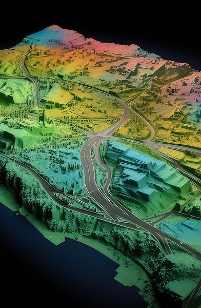
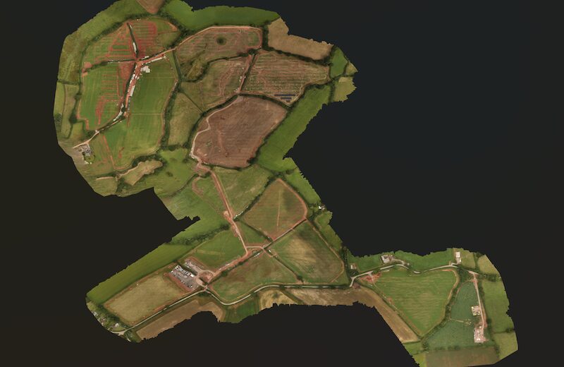
At Aerial Drone UK our drone 3D model and 2D mapping service have highly skilled drone pilots, that use the latest drone photogrammetry and drone LiDAR technology, to gather data with survey grade accuracy, in a cost effective, safe and timely manner. We build complete maps and models for you to make informed decision.
Aerial Drone UK are able to work on your drone 3D model and 2D mapping projects at a local level in the South West of England including Cornwall, Devon, Dorset, Somerset and further afield in the rest of the UK from our base in Devon.
Why choose Aerial Drone UK for 3D Models & 2D Maps?
-
Precision and Accuracy
Our fleet of advanced drone are equipped with the latest photogrammetry and LiDAR equipment, with centimetre accurate survey grade precision. Giving you a complete dataset of high resolution images for your survey area.
-
Cost Effective
Drone 3D models & 2D drone maps are a cost effective solution to traditional methods, reducing time needed for data collection, more consistent for high frequency collection and are more accurate over larger areas.
-
Enhanced Safety
Aerial Drone 3D modeling and 2D mapping can access hazardous and inaccessible areas, reducing the risk of accidents and ensuring the safety of those around.
-
Environmental Sustainability
Utilising drones helps to minimise the carbon footprint of a project, helping companies achieve their net-zero targets. Drones are also considered non-invasive for sites requiring low impact.
Applications of Drone 3D Modeling & 2D Mapping:
1. Construction and Development
Accurate 3D Models and georeferenced 2D maps aid in construction planning, construction monitoring progress, and identifying potential issues before they escalate.
2. Environmental Monitoring
Drones assist in monitoring and assessing environmental changes, such as deforestation, erosion and wildlife habitats. This information is crucial for land management and conservation.
3. Infrastructure Inspection
3D modeling provides precise representation which can be used for planned preventable maintenance (PPM) and inspection work. Ideal for critical infrastructure, such as bridges, power lines, pipelines and commercial building inspections.
4. Land Management
Precise 3D Models and 2D Maps for example digital surface models (DSM) and digital terrain models (DTM) are used to ensure efficient utilisation of land, for example forestry, water management, soil erosion, ecology and bio-diversity.

