
Welcome to Aerial Drone Operators - Drone Surveys
Our aerial drone survey services provide drone LiDAR surveying, construction drone surveys, drone land surveying, drone 3D models and 2D mapping, drone mapping for construction, drone multispectral surveys and drone topographic land surveys
At Aerial Drone UK, we specialise in providing high quality bespoke drone survey services across various sectors. Our advanced drone technology coupled with experience pilots ensures accurate and efficient surveys, saving you time and money while enhancing safety and reliability. From new house build project to commercial construction, renewable energy construction, critical infrastructure, highways construction, forestry and land management and conservation projects. We offer a range of survey solutions tailored to meet your specific needs.
Our Drone Survey Services Include:
Drone LiDAR Surveying
A powerful, highly effective way to collect 3D data of your project, enabling accurate and informed decision making.
Construction Drone Survey
Comprehensive drone surveys for construction projects, providing precise data for site planning, progress monitoring, and asset management.
Drone Land Surveying
From land mapping to detailed terrain analysis, collecting highly accurate data efficiently, supplying you with orthomosaics, 3D Models and 2D Maps.
Drone 3D Models and 2D Mapping
2D mapping imagery with the accuracy to take precise survey grade measurement and 3D modelling giving an accurate representation of the project or infrastructure, both providing a time and cost effective solution.
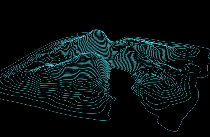
Drone Topographic Survey
2D Maps and 3D Models, for example digital elevation models (DEMs) and digital surface models (DSM), to visualise contours, and elevation changes, these surveys are capable of covering the most inaccessible terrain.
Drone Multispectral Surveys
Highly precise, cost effective multispectral surveys providing data beyond what the eye can see, for projects ranging from water quality, vegetation coverage, invasive species, tree disease and land cover.


Why Choose Aerial Drone UK?
Fully Insured: Aerial Drone UK prioritises safety and peace of mind. We are fully insured, ensuring that your project is protected every step of the way.
Expertise and Experience: With years of experience in the industry, our team of skilled professionals possesses the expertise to deliver exceptional results, meeting and exceeding client expectations.
Cutting-edge Technology: We leverage the latest advancements in drone technology, including high-resolution cameras, LIDAR systems, and advanced mapping software, to deliver precise and reliable surveying solutions.
Tailored Solutions: At Aerial Drone UK, we understand that every project is unique. We work closely with our clients to tailor our services to their specific requirements, ensuring optimal results and maximum value.
Nationwide Coverage: Based in Devon, we have easy access to Cornwall, Somerset, and the rest of the UK, allowing us to serve clients nationwide with efficiency and flexibility.


